Vacant Land Elements Examples

Home » VL Elements » Page 3

Vacant land stewardship requires four fundamental elements: knowing your community’s context, having clear goals and plans, committing to collaboration, and enacting facilitative policies. These four elements will look different in every community, but they are all critical components of implementing successful vacant land stewardship. To learn more about these elements and discover some next steps for your community's learning journey, explore the element examples below.

Element Type

Organization
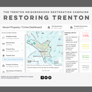
Screenshot of the Restoring Trenton vacant property and crime dashboard, showing an interactive map of Trenton, New Jersey with filters for property type and condition, tax lien data by owner, and summary statistics including 10% vacant buildings, 330.4 acres of vacant lots, and 515.7 acres of parks and open space.
Collaboration, Context
Restoring Trenton Vacancy Map
Trenton Neighborhood Restoration Campaign

In 2014, the Trenton Neighborhood Restoration Campaign (TNRC) organized the first truly comprehensive, parcel-level survey of all the vacant properties in Trenton — mapped, published, and updated on this interactive website. The TNRC also organized residents and local groups to draw attention to the problems caused by vacant and abandoned properties.

Read More »
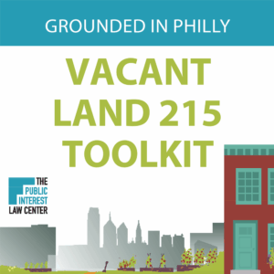
Cover of the Grounded in Philly Vacant Land 215 Toolkit, published by the Public Interest Law Center, with an illustrated graphic of the Philadelphia skyline and a row house.
Plans, Policy
Vacant Land 215 Toolkit
Grounded in Philly

The Vacant Land 215 Toolkit is a guide for both new and current gardeners in Philadelphia looking to use land productively, understand how to gain legal access to City-owned vacant spaces for community food production or open space, or understand what legal protections are available for existing community gardens.

Read More »
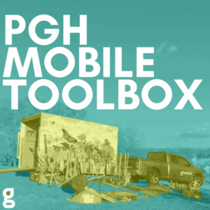
Promotional graphic for the PGH Mobile Toolbox from Grounded Pittsburgh, featuring a teal-tinted photo of a decorated trailer with garden tools and supplies spread out on a lawn next to a branded pickup truck.
Collaboration
PGH Mobile Toolbox
Grounded Strategies

The PGH Mobile Toolbox is a library of landscaping tools available for free to resident groups and community organizations in Allegheny County to use in the care and stewardship of vacant land and community green spaces.

Read More »
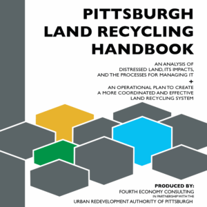
Cover of the Pittsburgh Land Recycling Handbook, an analysis of distressed land and an operational plan for a coordinated land recycling system, produced by Fourth Economy Consulting in partnership with the Urban Redevelopment Authority of Pittsburgh, with an abstract graphic of interlocking hexagonal shapes in gray, gold, green, and blue.
Policy
Pittsburgh Land Recycling Handbook
Urban Redevelopment Authority of Pittsburgh

The Pittsburgh Land Recycling Handbook includes an analysis of distressed land in Pittsburgh, its impact, and the processes for managing it, as well as an operational plan to create a more coordinated and effective land recycling system.

Read More »
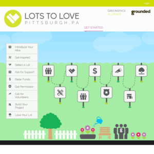
Screenshot of the Lots to Love Pittsburgh, PA website, a Greenspace Alliance and Grounded Pittsburgh platform, showing an illustrated step-by-step process for community lot projects including introducing an idea, selecting a lot, raising funds, getting permission, and building a project.
Context, Plans
Lots to Love
Grounded Strategies

Lots to Love is an online guide for community organizations and residents in the Pittsburgh region who are interested in transforming vacant lots into well-loved spaces. This website, created by the nonprofit Grounded Strategies, connects users to resources and ideas to support reuse of vacant lots, and provides information about organizations currently doing this work in the Pittsburgh region.

Read More »
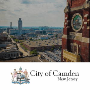
Aerial view of downtown Camden, New Jersey, with a historic red brick church in the foreground and city buildings stretching to the horizon, alongside the City of Camden New Jersey official logo and coat of arms.
Policy
City of Camden Zoning Ordinance
City of Camden

The City of Camden zoning ordinance has many goals that align with vacant land reuse and revitalization, including “to conserve a corridor of natural open space (greenways) primarily along waterways within the City” and “to emphasize the need for a wide variety of open space and demonstrate its value as an essential community asset.

Read More »
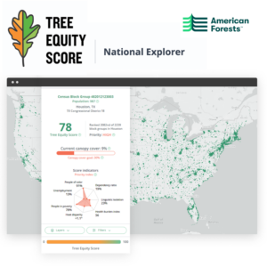
Screenshot of the American Forests Tree Equity Score National Explorer, showing an interactive map of the United States with green canopy coverage data and a detail panel for a Houston census block group displaying a score of 78, 9% canopy cover, high priority status, and equity indicators including poverty, unemployment, and health burden.
Context
Tree Equity Score
American Forests

The Tree Equity Score tool calculates a “tree equity score” for all 150,000 neighborhoods and 486 municipalities in urbanized areas across the continental United States.

Read More »
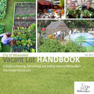
Cover of the City of Milwaukee Vacant Lot Handbook, Fall 2013, a guide to reusing and adding value to city-owned vacant lots, featuring photos of a community garden being watered, an outdoor cafe patio, two boys holding freshly harvested greens, and a group working in a community garden with a greenhouse.
Plans, Policy
Vacant Lot Handbook (Milwaukee)
City of Milwaukee Department of City Development

With the help of many dedicated citizens and professionals, the Department of City Development in Milwaukee has put together a handbook of creative reuse strategies for city-owned vacant land.

Read More »
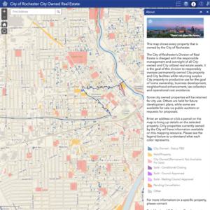
Screenshot of the City of Rochester City Owned Real Estate interactive map, showing color-coded parcels across the city with a legend distinguishing property statuses such as hold, permanently owned, sold, and pending, along with a description of the Division of Real Estate's management role.
Policy
City of Rochester Vacant Lot Sales Program & Map of City-owned Real Estate
City of Rochester Division of Real Estate

This website assists residents in accessing or purchasing one of the 3,400 City-owned vacant lots in Rochester for temporary or permanent projects. Some lots are sold for large development projects, many are used as community gardens, and many more are…

Read More »
Cover of the Rochester 2034 comprehensive plan, featuring an aerial night photograph of downtown Rochester, New York, with illuminated streets, highways, and skyscrapers stretching to the horizon.
Plans
Rochester 2034 Comprehensive Plan
City of Rochester

Rochester 2034 is a 15-year comprehensive plan to improve the community. Rochester’s population losses over the last several decades have left a legacy of vacancy – an urban challenge common to Rust Belt cities. Key takeaways in this work note that half of the vacant parcels in Rochester are owned by the City; all City-owned vacant lots are maintained at a ‘clean and green’ standard that exceeds many other cities…

Read More »
Context, Plans
Chicago’s Vacant Lots Near Transit: An ETOD Deep Dive
Elevated Chicago

In Elevated Chicago’s report, a case study of two areas in Chicago near transit hubs discuss the impact of vacant lots as well as the potential they hold for the area.

Read More »
Context
Perceptions of Detroit vacant lot greening designs related to depressive symptoms and household flooding
University of Michigan, School for Environment and Sustainability

A study led by the University of Michigan and the University of Michigan-Dearborn aims to understand the connection between vacant lot maintenance, such as greenwater storm infrastructure (GSI), and subsequent mental health effects.

Read More »
Collaboration, Context
New Orleans Green Infrastructure Map
Groundwork USA

The New Orleans Green Infrastructure Map is an ArcGIS map, created in partnership with Groundwork USA, Groundwork New Orleans and several community partners, seeks to document the various greening initiatives across the city of New Orleans.

Read More »
Context, Plans
PHS Green Equity Initiative
Pennsylvania Horticulture Society (PHS)

The Green Equity Initiative by the Pennsylvania Horticulture Society (PHS) is a proposal for environmental neighborhood investment in Philadelphia in the form of neighborhood-based greening solutions.

Read More »
Policy
Connecticut Department of Economic and Community Development’s Brownfield Remediation and Development Program
Connecticut Department of Economic and Community Development’s (DECD)

The Brownfield Remediation and Development Program provides $24.6 million in state funding to remediate 41 VAD properties across Connecticut.

Read More »
Context
EPA Region 5 Brownfields Map
Environmental Protection Agency (EPA)

The EPA Region 5 Brownfields Map is an ArcGIS visual of various brownfield redevelopment success stories in the Midwest. The map has 30 examples with descriptions of projects including environmental assessments, redeveloping spaces into medical complexes, housing, a museum, etc..

Read More »
Context
Greening America’s Smaller Legacy Cities
Lincoln Institute of Land Policy

The Greening America’s Smaller Legacy Cities from the Lincoln Institute of Land Policy is a policy-focused report on how local governments in small and midsize older industrial cities can adopt and implement comprehensive sustainability initiatives.

Read More »
Collaboration
The Garden Resources of Warren (GROW) Program
Trumbull Neighborhood Partnership

The Garden Resources of Warren (GROW) Program provides technical support leadership development, and educational programming for Warren’s community gardens and operates the Warren Farmer’s Market. Operated by the Trumbull Neighborhood Partneship,

Read More »
Plans
StormStore Terra Firma Pilot Project
Metropolitan Planning Council

A pilot report from the Metropolitan Planning Council and Emerald South explore how greenwater storm infrastructure (GSI) can be implemented based on local sewer conditions and vacant lot availability for efficient stormwater management.

Read More »
Collaboration, Plans
Washington Heights Land Re-Use Strategy
Calhoun Land Bank Authority

Led by the Calhoun County Land Bank Authority the Washington Heights Land Re-Use Strategy seeks to revitalize the Neighborhood Planning Council 2 (NPC2) area of Battle Creek, Michigan. Led by the Calhoun County Land Bank Authority

Read More »