Vacant Land Elements Examples
Vacant land stewardship requires four fundamental elements: knowing your community’s context, having clear goals and plans, committing to collaboration, and enacting facilitative policies. These four elements will look different in every community, but they are all critical components of implementing successful vacant land stewardship. To learn more about these elements and discover some next steps for your community's learning journey, explore the element examples below.
Element Type
Organization


Groundwork USA
The New Orleans Green Infrastructure Map is an ArcGIS map, created in partnership with Groundwork USA, Groundwork New Orleans and several community partners, seeks to document the various greening initiatives across the city of New Orleans.
Read More »Trumbull Neighborhood Partnership
The Garden Resources of Warren (GROW) Program provides technical support leadership development, and educational programming for Warren’s community gardens and operates the Warren Farmer’s Market. Operated by the Trumbull Neighborhood Partneship,
Read More »Calhoun Land Bank Authority
Led by the Calhoun County Land Bank Authority the Washington Heights Land Re-Use Strategy seeks to revitalize the Neighborhood Planning Council 2 (NPC2) area of Battle Creek, Michigan. Led by the Calhoun County Land Bank Authority
Read More »Cornell University Legal Constructs Lab
The National Zoning Atlas enables users to visualize the prevalence and nature of regulatory constraints, particularly on housing. The Zoning Atlas is an important tool to help people understand what their local zoning codes say; compare codes across jurisdictions, illuminate regional and statewide trends, and strengthen national planning for housing production, transportation infrastructure, and climate response.
Read More »Grandmont Rosedal Development Corporation
The Grandmont Rosedale Development Corporation (GRDC)’s Vacant Property Task Force is a resident-led initiative to target and prevent blight and vacancy in the five neighborhoods GRDC serves. Working closely with resident volunteers, the task force monitors vacant homes with the goal of ensuring that every property is properly maintained.
Read More »Baltimore Environmental Equity Partnership (BEEP)
Baltimore Environmental Equity Partners (BEEP) aims to foster cross-sector collaboration to improve community and environmental well-being and sustainability in neighborhoods of East Baltimore. BEEP is comprised of nonprofit and government organizations working on community development, community organizing, environmental and health advocacy, and social justice.
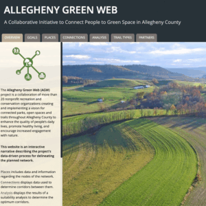
Read More »Allegheny Green Web Collaboration
The Allegheny Green Web Collaboration is a network of more than 20 nonprofit recreation and conservation organizations with a vision for connected parks, open spaces, and trails throughout Allegheny County to enhance the quality of people’s daily lives, promote healthy living, and encourage increased engagement with nature. The collaboration manages a website providing an interactive narrative of their efforts.
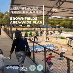
Read More »East Trenton Collaborative
The East Trenton Neighborhood (ETN) Brownfields Area-Wide Plan provides site-specific recommendations for 12 brownfield sites with an emphasis on two catalyst sites that have the greatest likelihood of development and impact. Cities dealing with high rates of vacant land and contamination may find this plan helpful in understanding the opportunities and challenges of putting properties back into productive use in a safe and healthy way.
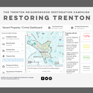
Read More »Trenton Neighborhood Restoration Campaign
In 2014, the Trenton Neighborhood Restoration Campaign (TNRC) organized the first truly comprehensive, parcel-level survey of all the vacant properties in Trenton — mapped, published, and updated on this interactive website. The TNRC also organized residents and local groups to draw attention to the problems caused by vacant and abandoned properties.
Read More »Grounded Strategies
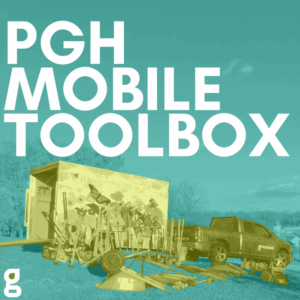
The PGH Mobile Toolbox is a library of landscaping tools available for free to resident groups and community organizations in Allegheny County to use in the care and stewardship of vacant land and community green spaces.
Read More »