Vacant Land Elements Examples by Type
Plans


Elevated Chicago
In Elevated Chicago’s report, a case study of two areas in Chicago near transit hubs discuss the impact of vacant lots as well as the potential they hold for the area.
Read More »Pennsylvania Horticulture Society (PHS)
The Green Equity Initiative by the Pennsylvania Horticulture Society (PHS) is a proposal for environmental neighborhood investment in Philadelphia in the form of neighborhood-based greening solutions.
Read More »Metropolitan Planning Council
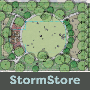
A pilot report from the Metropolitan Planning Council and Emerald South explore how greenwater storm infrastructure (GSI) can be implemented based on local sewer conditions and vacant lot availability for efficient stormwater management.
Read More »Calhoun Land Bank Authority
Led by the Calhoun County Land Bank Authority the Washington Heights Land Re-Use Strategy seeks to revitalize the Neighborhood Planning Council 2 (NPC2) area of Battle Creek, Michigan. Led by the Calhoun County Land Bank Authority
Read More »Emerald South Economic Development Collaborative
The Terra Firma Vacant Lot Toolkit provides extensive background on vacant lots in Chicago while laying out actionable goals and steps for others to transform parcels into spaces of dignity. Created by the Emerald South Economic Development Collaborative, this toolkit sets out to provide a blueprint for various stakeholders that are interested in embarking on this work.
Read More »UConn College of Agriculture, Health and Natural Resources Doctoral Researcher Pan Zhang and Assistant Professor Sohyun Park
The Vacant Land Assessment System (VLAS) uses ArcGIS tools to create strategies for assessing and prioritizing vacant lots for their most suitable regeneration possibilities. The tool analyzes the geographical surroundings, potential repurposing strategies and property features to classify them and provide ideas for transforming the lots. The VLAS framework becomes a powerful strategy for future planning in a way that is collaborative across disciplines and stakeholders and assesses lots effectively.
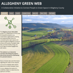
Read More »Allegheny Green Web Collaboration
The Allegheny Green Web Collaboration is a network of more than 20 nonprofit recreation and conservation organizations with a vision for connected parks, open spaces, and trails throughout Allegheny County to enhance the quality of people’s daily lives, promote healthy living, and encourage increased engagement with nature. The collaboration manages a website providing an interactive narrative of their efforts.
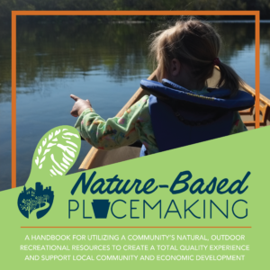
Read More »PA Department of Conservation and Natural Resources and PA Downtown Center
Developed through a partnership between the Pennsylvania Department of Conservation and Natural Resources and the Pennsylvania Downtown Center this handbook provides strategies for communities to utilize their natural, outdoor recreational resources as assets to grow and enhance their community and economic development.
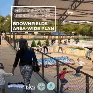
Read More »East Trenton Collaborative
The East Trenton Neighborhood (ETN) Brownfields Area-Wide Plan provides site-specific recommendations for 12 brownfield sites with an emphasis on two catalyst sites that have the greatest likelihood of development and impact. Cities dealing with high rates of vacant land and contamination may find this plan helpful in understanding the opportunities and challenges of putting properties back into productive use in a safe and healthy way.
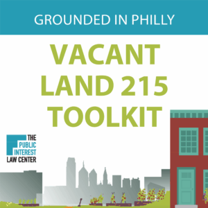
Read More »Grounded in Philly
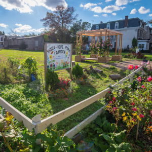
The Vacant Land 215 Toolkit is a guide for both new and current gardeners in Philadelphia looking to use land productively, understand how to gain legal access to City-owned vacant spaces for community food production or open space, or understand what legal protections are available for existing community gardens.
Read More »