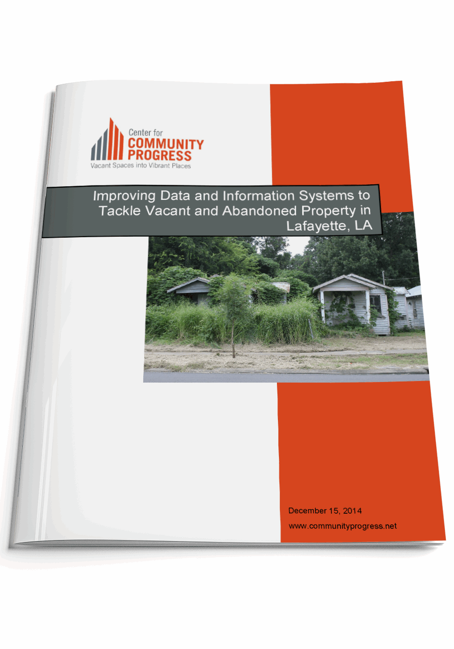
Improving Data and Information Systems to Tackle Vacant and Abandoned Property in Lafayette, Louisana
A Community Progress Technical Assistance Report
Topic(s): Local Analysis, Parcel Data & Neighborhood Markets
Published: December 2014
Geography: Louisiana
Author(s): Center for Community Progress
In March 2014, the Lafayette City-Parish Consolidated Government (LCG) engaged Community Progress to help improve their use of property and neighborhood data, understanding that high quality data analysis lays a foundation for smart strategies to tackle vacancy and abandonment.
Between 2006 and 2014, LCG experienced a nearly 60 percent increase in adjudicated properties which has contributed to an increasing inventory of problem properties. LCG departments and the Lafayette Parish Tax
Assessor have already made great strides in building their internal information technology infrastructure, but currently lack a coordinated vision or plan for using the relevant property and neighborhood data housed within their respective databases. Additionally, stakeholders are currently lacking complete, accurate and public data on problem properties throughout Lafayette Parish to use for comprehensive analysis.
The aims of this project were (1) to begin integrating existing data systems that will build the foundation for a unified Geographic Information System (“GIS”) – based property and neighborhood database, and (2) to begin the development of applications that can improve information sharing between LCG departments and with the public to help inform policy decisions and strategies related to problem properties. There were several specific objectives for the technical assistance to LCG, including: Automate the integration of specific LCG
business systems for key data regarding problem properties and neighborhood conditions; Apply geospatial information and software to visualize, present and analyze data regarding problem properties and neighborhood conditions; and develop geospatial models and web applications that can disseminate property related information and provide an “early warning system” for property and neighborhood decline.
In this report, we share our observations and findings from our research and interviews with Lafayette stakeholders and offer a number of organizational, technical, and information sharing recommendations for stakeholders to consider.

Topic(s): Local Analysis, Parcel Data & Neighborhood Markets
Published: December 2014
Geography: Louisiana
Related Publications
Other Related Content
Subscribe to join 14,000 community development leaders getting the latest resources from top experts on vacant property revitalization.
